Sanborn Maps
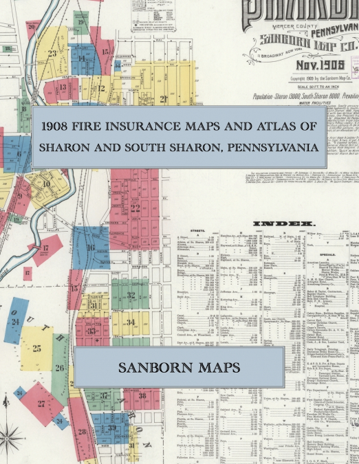
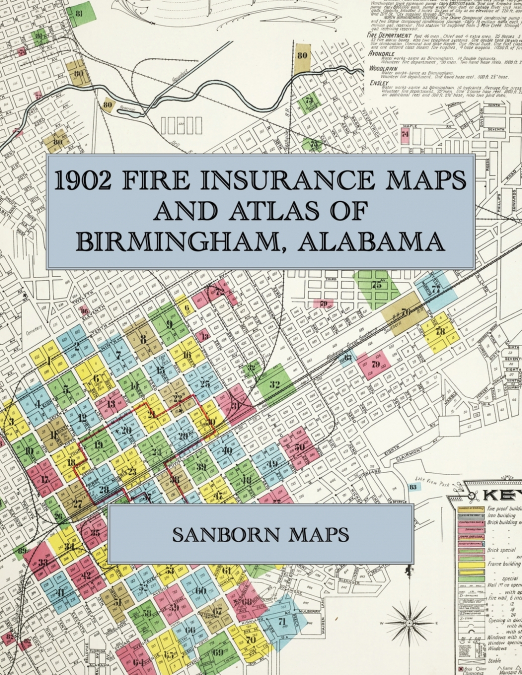
In 1902 the Sanborn Map Company of New York surveyed Birmingham for the fire-insurance trade, drawing the young iron city at fifty feet to the inch. Every building is shown to scale and colour-coded for construction, height and use, with street names, house numbers, hydrants, water mains and steam boilers noted. The atlas opens on a key map of the whole city with its water and fire-department report, then works block by block through the business district along Morris Avenue, First Avenue and Twentieth Street, the furnaces, foundries, rolling mills and railroad yards of the reservation, the Southside and the Highlands, and the suburbs of Avondale, Woodlawn, East Lake and Ensley with its great steel works.This Exile Books edition is an unabridged facsimile republication of Insurance Maps of Birmingham, Alabama (Sanborn Map Company, New York, 1902), reproduced complete and in full colour: the title page, the street and specials index, the key map, all one hundred and eight numbered sheets and the four skeleton sheets bound with them. Printed on 8.5 x 11 inch pages, it is a working atlas of Birmingham at the height of its first industrial boom for genealogists, house historians, architectural historians, preservationists and anyone tracing the growth of the Magic City.