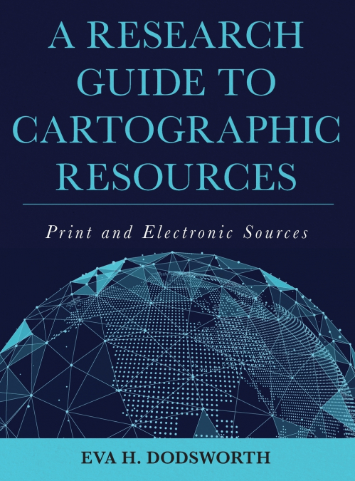
A Research Guide to Cartographic Resources

A Research Guide to Cartographic Resources

Eva H. Dodsworth / Eva HDodsworth

209,13 €
IVA incluido
Disponible
Editorial:
Rowman & Littlefield Publishing Group Inc
Año de edición:
2018
Materia
Ciencias de la tierra/geociencias
ISBN:
9781538100837
209,13 €
IVA incluido
Disponible
Añadir a favoritos

The interdisciplinary uses of traditional cartographic resources and modern GIS tools allow for the analysis and discovery of information across a wide spectrum of fields. A Research Guide to Cartographic Resources navigates the numerous American and Canadian cartographic resources available in print and online, offering researchers, academics and students with information on how to locate and access the large variety of resources, new and old. Dozens of different cartographic materials are highlighted and summarized, along with lists of map libraries and geospatial centers, and related professional associations. A Research Guide to Cartographic Resources consists of 18 chapters, two appendices, and a detailed index that includes place names, and libraries, structured in a manner consistent with most reference guides, including cartographic categories such as atlases, dictionaries, gazetteers, handbooks, maps, plans, GIS data and other related material. Almost all of the resources listed in this guide are categorized by geography down to the county level, making efficient work of the type of material required to meet the information needs of those interested in researching place-specific cartographic-related resources. Additionally, this guide will help those interested in not only developing a comprehensive collection in these subject areas, but get an understanding of what materials are being collected and housed in specific map libraries, geospatial centers and their related websites. Of particular value are the sections that offer directories of cartographic and GIS libraries, as well as comprehensive lists of geospatial datasets down to the county level. This volume combines the traditional and historical collections of cartography with the modern applications of GIS-based maps and geospatial datasets.

Artículos relacionados

  • Polarimetric SAR Techniques and Applications
    Carlos López-Martínez / Juan Manuel Lopez-Sanchez
    An increasing number of spaceborne Synthetic Aperture Radar (SAR) systems have been equipped with polarimetric capabilities: ALOS and ALOS-2, Radarsat-2, TerraSAR-X, Envisat-ASAR, Sentinel-1a/b, etc. Future mission will still present this type of diversity: RCM, SAOCOM, Cosmo-Skymed 2nd generation or PAZ. Polarimetry allows sensitivity to the structural and geometric properties...
    Disponible

    59,61 €

  • Innovative Strategies and Frameworks in Climate Change Adaptation
    Alexander G. Flor / Alexander GFlor / Benjamina Gonzalez Flor
    The changes the earth is currently undertaking has been at the forefront of scientific discourse in recent years. Humans as a species have needed to react to these changes and shift their behavior accordingly. Innovative Strategies and Frameworks in Climate Change Adaptation: Emerging Research and Opportunities is a critical scholarly resource that examines the relationship bet...
    Disponible

    216,16 €

  • Air Quality Monitoring and Forecasting
    Air quality is personal. Its management is highly so. Asthmatic or air-pollutant-sensitive individuals depend on accurate air quality forecasts to help manage their daily activities.  However, the adverse effects of poor air quality on public health and visibility extend far beyond the daily time horizon. Pneumonic and cardiac vascular responses of individuals in all age groups...
    Disponible

    59,74 €

  • Application of Artificial Neural Networks in Geoinformatics
    Saro Lee
    Recently, a need has arisen for prediction techniques that can address a variety of problems by combining methods from the rapidly developing field of machine learning with geoinformation technologies such as GIS, remote sensing, and GPS. As a result, over the last few decades, one particular machine learning technology, known as artificial neural networks, has been successfull...
    Disponible

    59,81 €

  • Coastal Sea Levels, Impacts and Adaptation
    Extreme sea levels can lead to hazardous events, such as coastal flooding, erosion, or salt water intrusion, with-wide ranging environmental, societal, and economic consequences. In combination with climate-driven sea-level rise, and, potentially, additional changes in storminess, dynamic wave contributions, and tidal dynamics, the adverse consequences of extreme oceanographic ...
    Disponible

    75,97 €

  • Checklist of Papuasian Orchids
    Paul Ormerod
    This is the most comprehensive account to date of all Papua New Guineas wild orchids and will no doubt prove to be the essential reference to PNG's orchids for all botanists, ecologists and orchid enthusiasts for decades to come. All types and relevant data including where published are listed and the herbariums where they are kept. All synonymous names, where published and...
    Disponible

    59,91 €